Above thetreeline
Small-group treks out of Chamoli, Uttarakhand. Brahmatal in deep snow, Kuari Pass along Curzon’s line, the Ali and Bedni meadows, and the long walk up the Roopkund ridge.

Small-group treks out of Chamoli, Uttarakhand. Brahmatal in deep snow, Kuari Pass along Curzon’s line, the Ali and Bedni meadows, and the long walk up the Roopkund ridge.
We operate four routes and nothing else. That narrowness is the point — it is why the acclimatisation profiles are right and why the permit answers are current.
Forest entry, biosphere conditions and camping permissions are cleared before you arrive — including the rules that change season to season.
No camp gains more than 1,800 ft over the one below it. Where terrain forces a bigger jump we add a walk-high, sleep-low day.
Guides who live in these valleys and have walked each route across every season it runs, not just the postcard months.
Numbered waste bags per tent, weighed at base. Dry toilet pits, no soap in the streams, no camping inside the meadows.
Every route below starts within four hours of Rishikesh and ends above 11,000 feet. The profile on each card is the real climb, day by day.
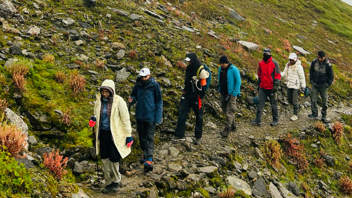
Unedited footage from a February Brahmatal departure — the ridge walk, the camp routine, and the weather turning at Khorurai.

We turn around. That is the whole policy.
Protocol 01 · Applies to every guide, every group, every summit day
Four departures a season are run as teaching treks. You carry your own load, help pitch camp, read the weather with the lead guide at 05:00, and log your own SpO₂ at every stop.
By the last day you can plan an acclimatisation profile yourself. Several of our current guides started on exactly this programme.


Uttarakhand has two trekking seasons split by the monsoon. July and August are closed on every route below — the bugyals are unstable and the approach roads slide.
Altitude is the only thing on these routes that can actually hurt you. Everything below exists because of that one fact.
No camp gains more than 1,800 ft over the one before it. Where the terrain forces a bigger jump, we add a walk-high-sleep-low day instead of pushing.
Logged at every camp on a sheet you can read. Two oxygen cylinders and a portable altitude chamber travel with each group above 12,000 ft.
Summit day starts with a go/no-go from the lead guide. If it is no-go, it is no-go, and your slot rolls to the next departure at no cost.
Handled before you arrive, including the Nanda Devi Biosphere entry conditions that change from season to season.
Numbered waste bags per tent, weighed at base. Dry toilet pits, no soap in the streams, and no camping inside the bugyal meadows.
“
Whiteout on Brahmatal day three. Vikram had us off the ridge in twenty minutes and nobody panicked, because he had already walked us through exactly that the night before.
“
First trek at 38 and I was the slowest in the group by a distance. Not once did anyone make me feel it. Kuari Pass was the right call for a beginner and they told me so honestly when I asked for Roopkund.
“
They were straight with us about the Roopkund restrictions before we paid, which no other operator we called was. We stopped where the permit stopped and it was still the best week of our year.
“
We got turned around on summit morning. Disappointing at the time. Two hours later the weather came in exactly as the guide said it would, and I have recommended them to six people since.
“
The SpO₂ log sounds like a small thing until you are at 11,000 ft and can see your own numbers going the right way. It took the anxiety out of the whole trek.
Nine thousand feet of gain from Lohajung to the Roopkund ridge, walked over eight days so your body has time to keep up with the map.
Mountain Guide runs guided high-altitude treks in the Garhwal and Kumaon Himalaya, working out of Lohajung in Chamoli district and out of Rishikesh for transfers. We are not a marketplace and we do not resell other operators’ departures. Every group on this page walks with our own guides, on routes we have run across every season they are open.
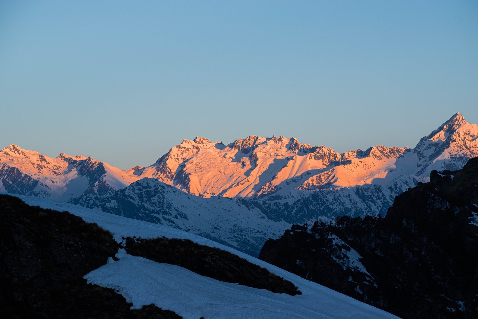
Our four core routes sit within a four-hour drive of each other. Brahmatal is a winter trek that stays in snow from Lohajung upward, topping out at 12,250 ft with Trishul and Nanda Ghunti filling the skyline. Kuari Pass follows the line Lord Curzon walked in 1905 and gives the clearest view into the Nanda Devi sanctuary rim available to a trekker without a mountaineering permit.
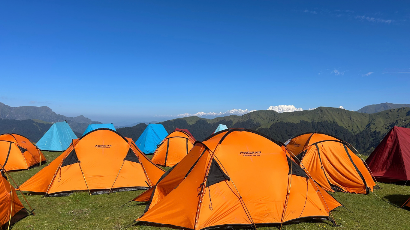
Ali and Bedni Bugyal are among the largest high-altitude meadows in India, joined by a grass ridge that walks easily at around 11,500 ft. It is the route we recommend to anyone doing a Himalayan trek for the first time. Roopkund, the skeleton lake below Junargali at 16,499 ft, is the hardest thing we run and also the most restricted.
That restriction matters and we would rather explain it than bury it. Since the 2018 Uttarakhand High Court order on the Nanda Devi Biosphere eco-sensitive zone, camping in the Ali and Bedni meadows and access to Roopkund lake have been limited, and the conditions have been revised more than once since. We run the route only as far as the current permit allows and we tell you where that line sits before you pay, not after.
Beyond the core four we also operate departures in Uttarkashi, on Kedarkantha, Har Ki Dun and Dayara Bugyal, and in Kumaon toward the Pindari and Kafni glaciers. Uttarakhand has two clear trekking seasons split by the monsoon: roughly December to April for snow routes, and April to June plus September to November for the meadows. July and August are closed on everything we run.
Group size is capped at twelve with one certified guide for every six trekkers. Acclimatisation is built into the itinerary rather than bolted on, oxygen and a portable altitude chamber travel with every group above 12,000 ft, and summit day begins with a go or no-go weather call at 05:00. If the call is no-go your slot rolls to the next departure at no cost. We would rather lose the summit than the trekker.
Both sit around 12,300 ft and both are sold as beginner snow treks. They are not the same walk, and the difference matters more than the altitude figure suggests.
Read →
A plain reading of the eco-sensitive zone order, what it means for camping in the bugyals, and how far up the ridge a legitimate operator can take you this season.
Read →
The 1,800 ft rule, why we add a walk-high sleep-low day at Didna, and what the SpO₂ log is really telling you at each camp.
Read →
Replace the three slots below with the bodies you are actually registered with, and link each to your certificate. Do not display a logo you cannot evidence.
Nine thousand feet of gain.
Eight days. One range.
Twelve people maximum per departure. Winter Brahmatal slots for December and January usually close six weeks out.
Tell us the dates you can take off and we will tell you which trail is actually walkable then.